Tracked shipping to South Africa with premium packaging for just R199 

Ship to
South Africa
0
  • argentina
  • chile
  • colombia
  • españa
  • méxico
  • perú
  • estados unidos
  • internacional

Select your country

Americas

Europe

Rest of the world

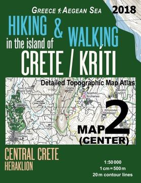
portada Hiking & Walking in the Island of Crete/Kriti map 2 (Center) Detailed Topographic map Atlas 1: 50000 Central Crete Heraklion Greece Aegean Sea: Trails
Type
Physical Book
Publisher
Year
2018
Language
English
Pages
42
Format
Paperback
Dimensions
27.9x21.6x0.3 cm
Weight
0.17 kg.
ISBN13
9781986555555
Edition No.
1

Hiking & Walking in the Island of Crete/Kriti map 2 (Center) Detailed Topographic map Atlas 1: 50000 Central Crete Heraklion Greece Aegean Sea: Trails

Sergio Mazitto (Author) · Createspace · Paperback

Hiking & Walking in the Island of Crete/Kriti map 2 (Center) Detailed Topographic map Atlas 1: 50000 Central Crete Heraklion Greece Aegean Sea: Trails - Mazitto, Sergio

New Book Imported to South Africa
Delivery: 02 Oct - 12 Oct Shipping: 5 to 6 business days.
R 359
R 359

Synopsis "Hiking & Walking in the Island of Crete/Kriti map 2 (Center) Detailed Topographic map Atlas 1: 50000 Central Crete Heraklion Greece Aegean Sea: Trails "

Updated edition. Detailed topographic map 1:50.000 & 20 meter contours for hiking and trekking, printed as an atlas book (with overlapping pages).Covers the central part of the island of Crete (Kriti), Greece. Area around the city of Heraklion, towns of Agia Galini, Tympaki, Zaros, Archanes, Spili and others.20 meter contour lines, road network, trails & paths, transportation, food, campsites, shelters, guest houses & hotels.Mercator projection with both UTM and WGS84 coordinate grids.The map scale of 1:50000 (1 cm = 500 meters) provides a wealth of detail while keeping low the weight of the atlas itself. The large page format of 8.5x11in minimizes page count and along with an overlapping map design allows for comfortable navigation. The details included in the topographic maps of this atlas were specifically selected to be useful for trekkers, hikers and walkers of all interests, and make it easy to plan and enjoy both short excursions and hikes as well as long multi-day adventures along the main marked routes and/or adjacent trails and paths, which are also shown on the maps.With this ultralight atlas you will always have a detailed, reliable, information-rich, battery-independent, shatter-proof map for your adventure.

Customers reviews

Frequently Asked Questions about the Book

All books in our catalog are Original.
The book is written in English.
The binding of this edition is Paperback.

Questions and Answers about the Book

Do you have a question about the book? Login to be able to add your own question.

Opinions about Bookdelivery

More customer reviews